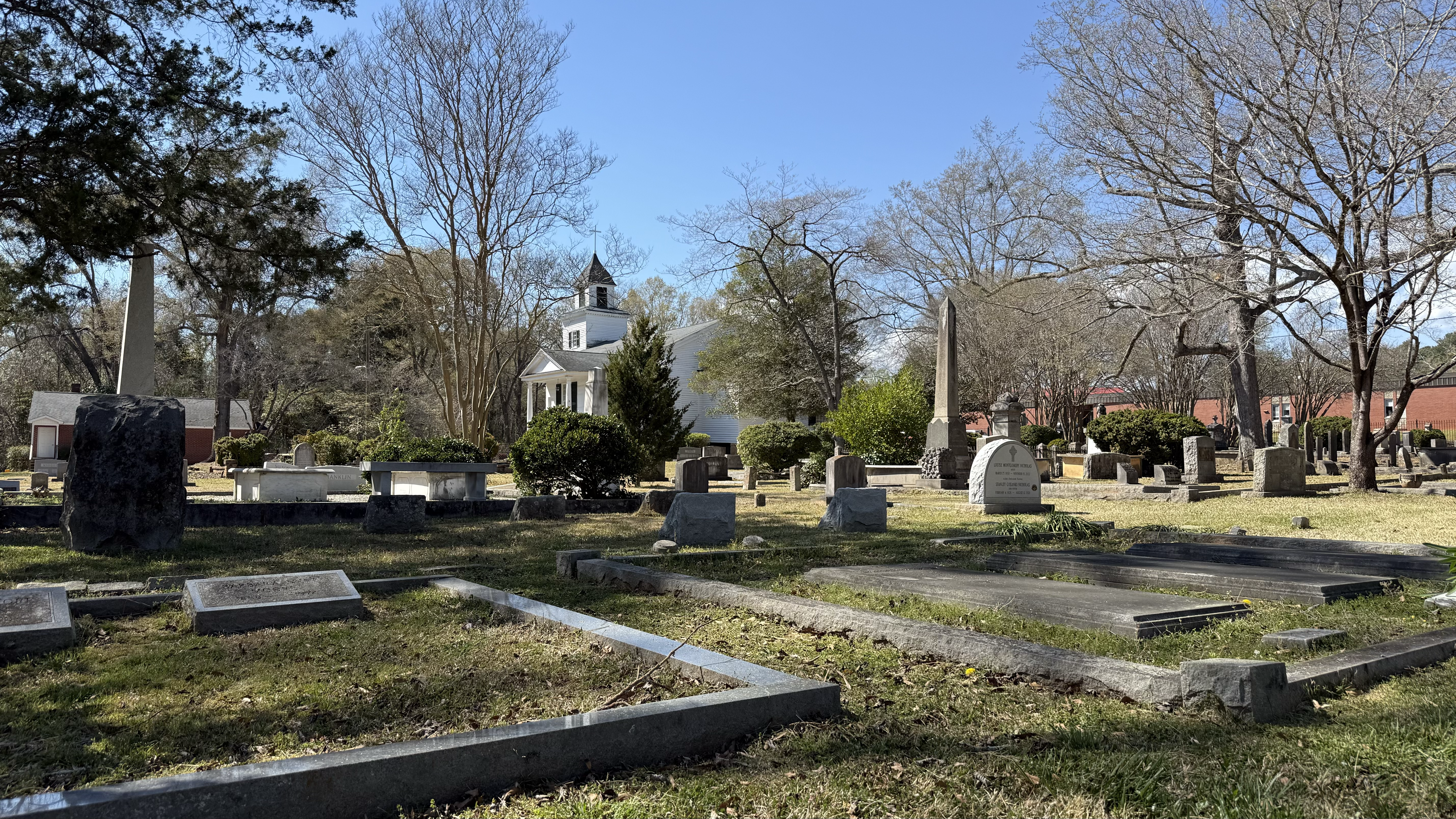
Cemetery Map
The map of the cemetery has two base layers: aerial photography and LiDAR. Use the layer button in the top right to switch between the two layers.
Click on any icon to see the burial record associated with that plot.
The map of the cemetery has two base layers: aerial photography and LiDAR. Use the layer button in the top right to switch between the two layers.
Click on any icon to see the burial record associated with that plot.